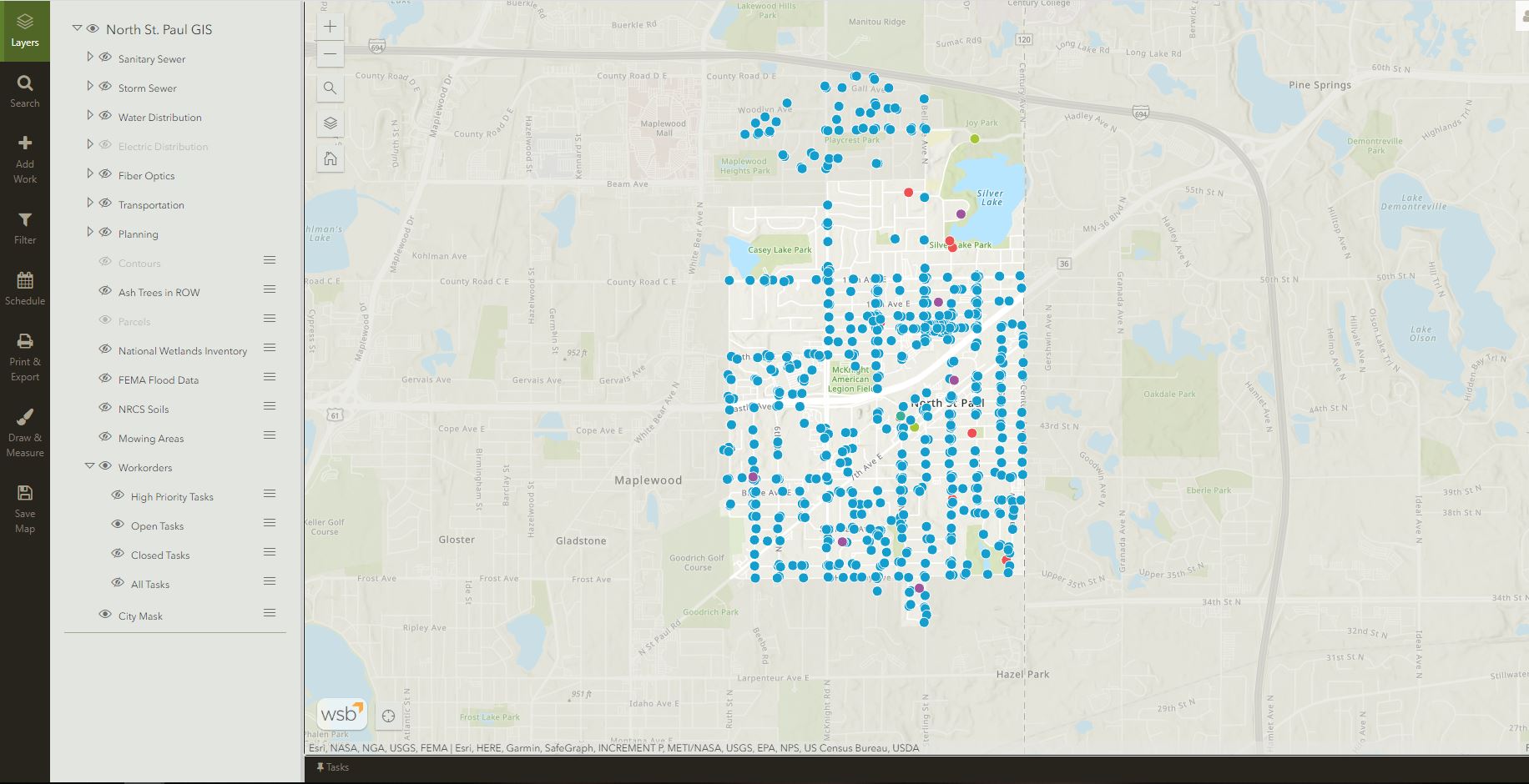
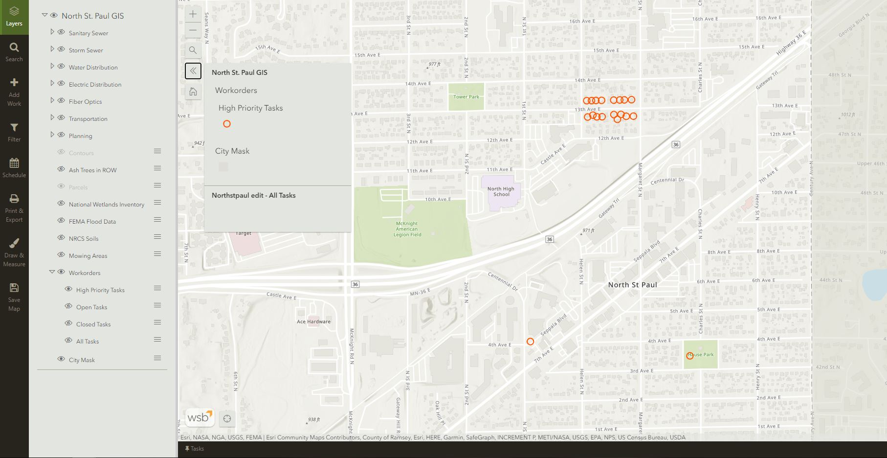
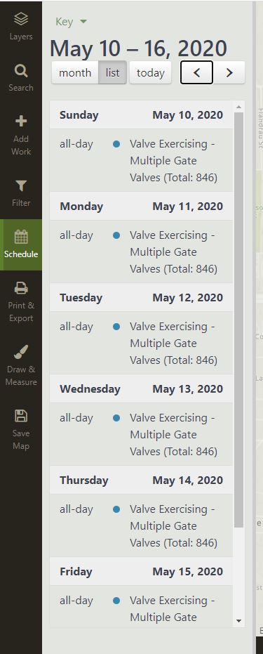
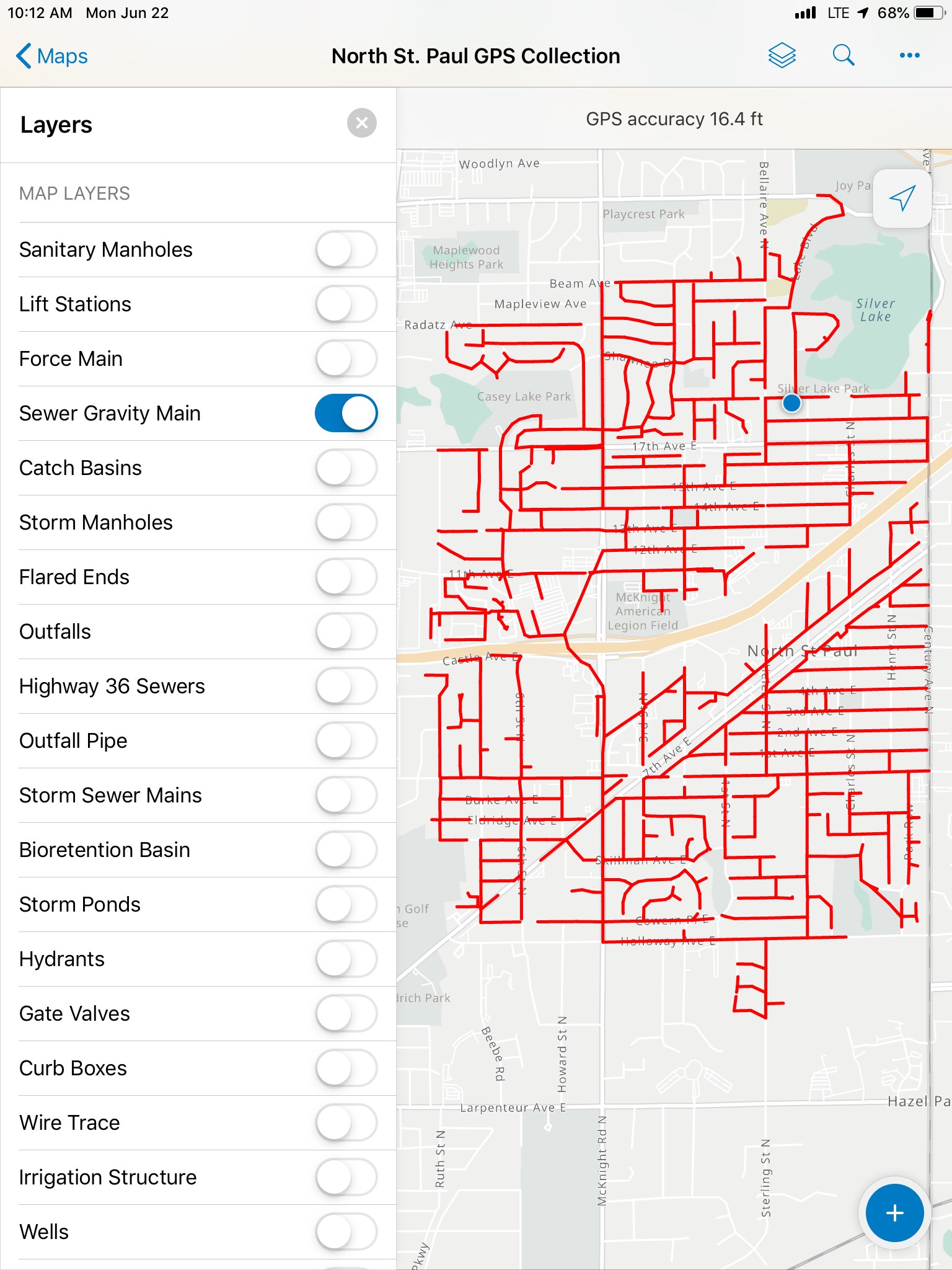
The city of North St. Paul, MN was looking for a way to efficiently inventory and manage all of their existing infrastructure. Their objectives included being able to account for all infrastructure, adjust GPS locations for accuracy, and to easily track maintenance records. As a trusted partner, the city approached the WSB technology team looking for recommendations on options for managing this process.
Our solution took a two-pronged approach to solving the city's challenges.
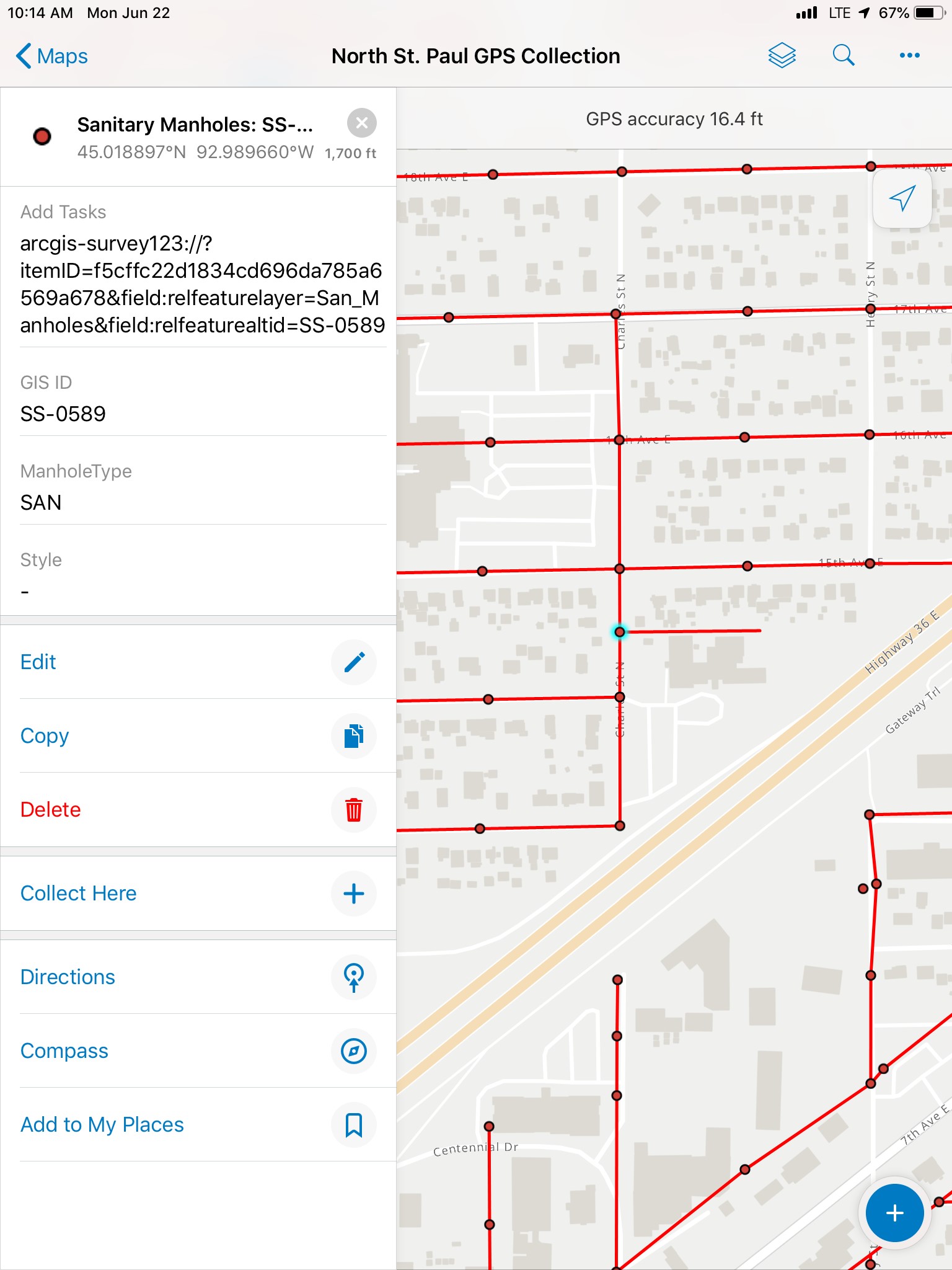
WSB facilitated the contracting and equipment acquisition through ArcGIS Online. The purchase of a sub-meter accurate EOS Arrow Gold GNSS receiver, along with the GPS Collection applications we designed, allowed the city to accurately collect and adjust the GPS location of items like sanitary sewers, storm sewers, watermains, signs and streetlights. In addition to documenting physical location, the system was created to allow city employees to attach current photos of each assets to its data in the system in order to document its current condition.
