Q&A with Bart Fischer | Know When the Time is Right for Staff Augmentation
October 14, 2022
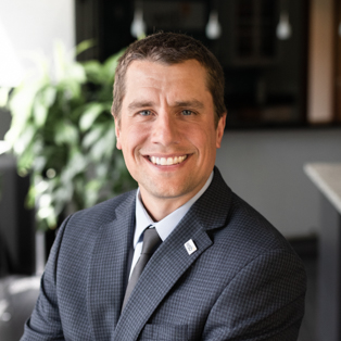
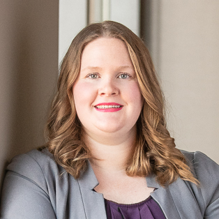
By Bart Fischer, Sr Public Administrator and Kim Lindquist, Director of Community Planning, WSB
Staff turnover, economic conditions and resources all impact the capacity and workload of city staff. Scalable staff augmentation has become another tool in the toolbox of cities who are hoping to backfill a role, complete a special project or increase available resources. Bart Fischer, Sr. Public Administrator, explores the benefits of staff augmentation with Kim Lindquist, Director of Community Planning & Economic Development.
BF: Why would a city consider staff augmentation?
KL: The number one reason to consider staff augmentation is to support staff turnover and coverage during a time of transition. If a staff member resigns, it often takes months to fill a vacancy. The great thing about staff augmentation is that cities can keep their projects and workload moving forward with limited interruption during that interim time. It also allows cities to evaluate a position to determine if it requires a full-time employee, or if tasks can be handled on an as needed or part-time basis.
BF: Is there a magic number of hours or roles for staff augmentation?
KL: No, and that’s the beauty of it. It’s scalable. A city may need support for a month, or for a long-term project. In my experience staff augmentation looks different for each community, which is great because WSB has the flexibility to fit the client need. We have situations where the augmentation is project based, like review of a specific planning project, and we have other clients where the augmentation is service based, for example conducting code enforcement for the community. We work with the client to arrive at a solution that works for their needs including providing in-office hours, dedicating two or three days a week or working within a specific time period until the project is completed. It’s a flexible option for cities that can be scaled up or down at any time. It really depends on the community and their unique needs.
BF: How is the talent shortage impacting staffing resources?
KL: In many local governments, we’ve seen a wave of baby boomers retiring that held upper-level director positions. As they retire, finding leaders to replace them has been challenging as attracting and retaining talent is a struggle across industries. Communities who are having a hard time finding candidates to fill roles are relying on augmentation to ensure they’re moving their projects and initiatives forward while they work to fill those positions.
BF: What do you think are the biggest benefits of staff augmentation.
KL: I think many communities don’t realize the financial savings that come with staff augmentation. It alleviates the need to hire an FTE and allows staff to have additional bandwidth to focus on higher level tasks and council policies rather than routine tasks. When the economy is strong, people don’t think about the pluses and minuses of hiring someone, but at the same time, no one wants to lay anybody off. The true benefits lie in the scalability and flexibility of staff augmentation.
When WSB supports communities, we stress the full resources behind us. I work in planning, but have quick access to expertise in many areas including economic development, code enforcement, public works, city engineering, sustainability, etc. We bring a wealth of expertise to the table to help support a community’s comprehensive needs.
Bart Fischer has over two decades of experience in public administration. Throughout his tenure, he’s worked in five Minnesota communities as the city or assistant city administrator. Bart joined our firm in 2019 as a senior public administrator and focuses on lending his public service expertise to our clients.
[email protected] | 651.485.1839

Kim is a planning professional with over 30 years of experience overseeing a variety of complex planning projects. Kim worked in high growth communities working with developers and the public on entitlements for residential development and business attraction to the city.
[email protected] | 612.670.2790