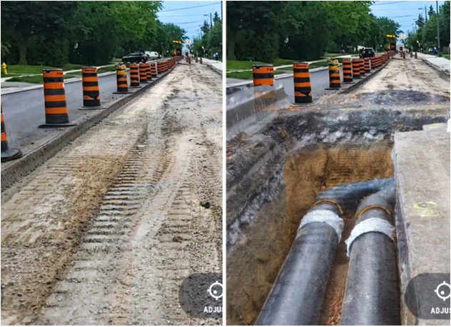
True View is an application that combines Augmented Reality (AR) and GIS to visualize underground utilities, right-of-way boundaries, and building infrastructure. Users can see what lies beneath the pavement and a plot of land through their mobile device screen using traditional Esri GIS data. True View can help solve real world challenges, gain new insights, simplify fieldwork, and increase safety.
True View can aggregate data from a variety of sources including Esri ArcGIS, Bentley BIM designs, and Autodesk InfraWorks models. Additionally, it can integrate with high accuracy GNSS receives to provide centimeter level positional accuracy.
TrueView is accessed on any phone or tablet and works with the Microsoft HoloLens.
Capabilities include:


We partner with our clients and communities to build what’s next in infrastructure—the places, spaces and systems that support our lives.