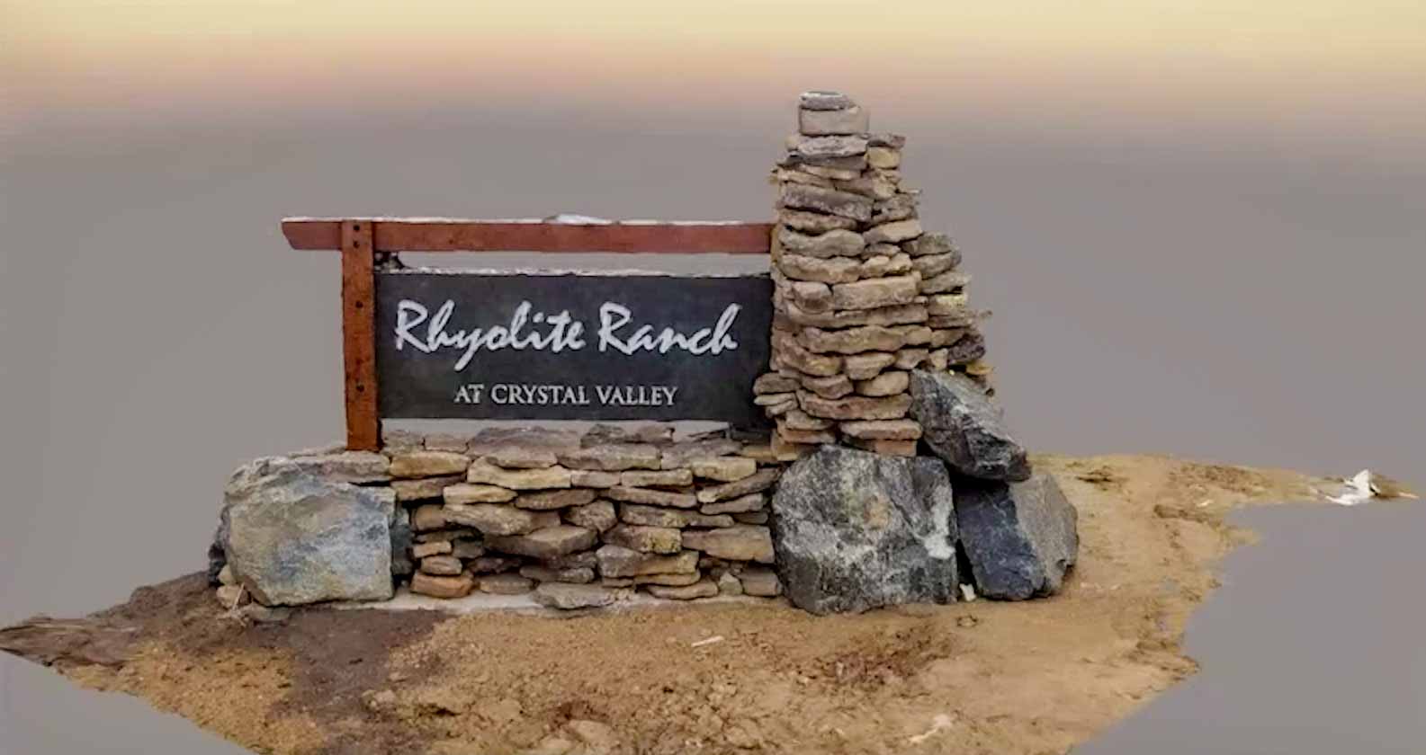
High-accuracy data collection is staple at WSB. Getting up-to-date imagery and surface elevation allow us to make the best decisions for clients. Using a high-resolution 4k compatible drone, we produce highly-accurate imagery and apply control points to known locations in order to create a detailed, up-to-date surface model of any project site.
Reality Capture


We partner with our clients and communities to build what’s next in infrastructure—the places, spaces and systems that support our lives.