Projects
Pilot Project: Desktop Geohazard Assessment
Location:
Florida
Expertise:
Energy, Technology
Services:
GIS Services
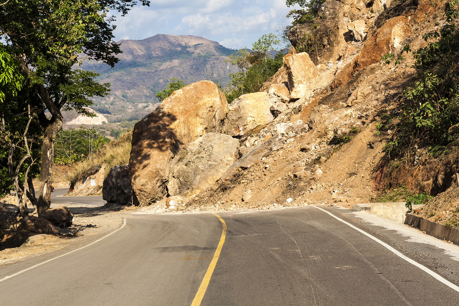
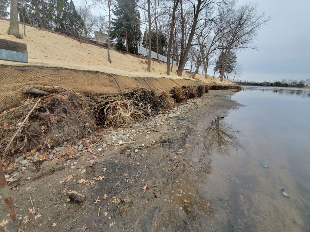
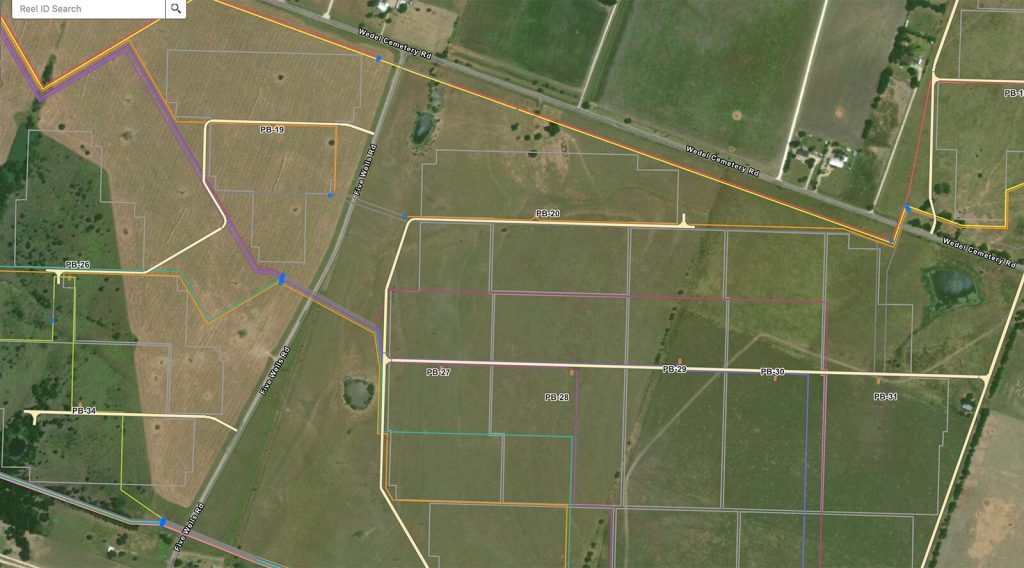
WSB assessed 170 miles of natural gas transmission pipeline in Florida for all geohazard risks pursuant to Section 192 CRF Title 49 guidelines. Remote desktop modeling was completed using Geographic Information System (GIS)-programming to model the occurrence, risk, and proximity of potentially active geohazards to designated pipelines. The desktop analysis included the assessment of unstable slopes, water crossings (stream erosion), seismic hazards, subsidence, and sinkholes. Based on remote modeling results, the most prominent and high-risk hazards were sinkholes, subsidence, and stream channel erosion and scour.
After the completion of remote modeling, WSB recommended an on-site field program, to be followed by a final risk assessment, and if deemed necessary, a monitoring and mitigation program. The proposed monitoring program included regularly scheduled severe weather investigations.


