WSB is thrilled to partner with the Minnesota Department of Transportation (MnDOT) to provide final roadway and bridge design services for the Highway 169 (TH 169) Reconstruction Project.
TH 169 is a significant north-south highway in Minnesota. It serves rapidly developing communities and is a gateway to exploring recreational areas in Greater Minnesota. The highway is heavily traveled by both vehicles and pedestrians. Expanding the highway is intended to improve safety and reduce the average rate of collisions in the area.
Jody Martinson, vice president of transportation at WSB, anticipates this project will have a lasting impact and looks forward to delivering a safer commute for surrounding communities.
“This project is incredibly important to users of the TH 169 corridor,” said Martinson. “Being able to work side-by-side with MnDOT to improve the safety and mobility for motorists and pedestrians is extremely gratifying. WSB is excited to utilize technology and innovative solutions to improve the efficiency of design and construction.”
The reconstruction will address operational, infrastructure and mobility issues, all important elements considered when the project was selected for the Corridors of Commerce (CoC) program. The project will replace four signalized intersections with interchanges and consolidate access points, drastically improving safety and mobility. Local roadways will be reconstructed to create ADA accessible routes at the interchanges. The TH 169 project is expected to reduce roadway delay by more than 1,000 hours per day, eliminate $1.7 million in annual crash costs, and provide more reliable travel times for the public.
The project is also a CMGC project. As a CMGC (Construction Manager/General Contractor), the process will involve several stakeholders and team members throughout the design and construction process. The project will also require strong coordination and communication with MnDOT. Project manager, Peter Muehlbach formed an expert team to ensure the CMGC process is efficient, effective and economical for reconstruction.
“When fully utilized, the CMGC design process allows for a more collaborative work environment between designer and contractor,” said Muehlbach. “I am excited for the opportunity to make design decisions together with our MnDOT, Sherburne County, city of Elk River and Ames Construction partners.”
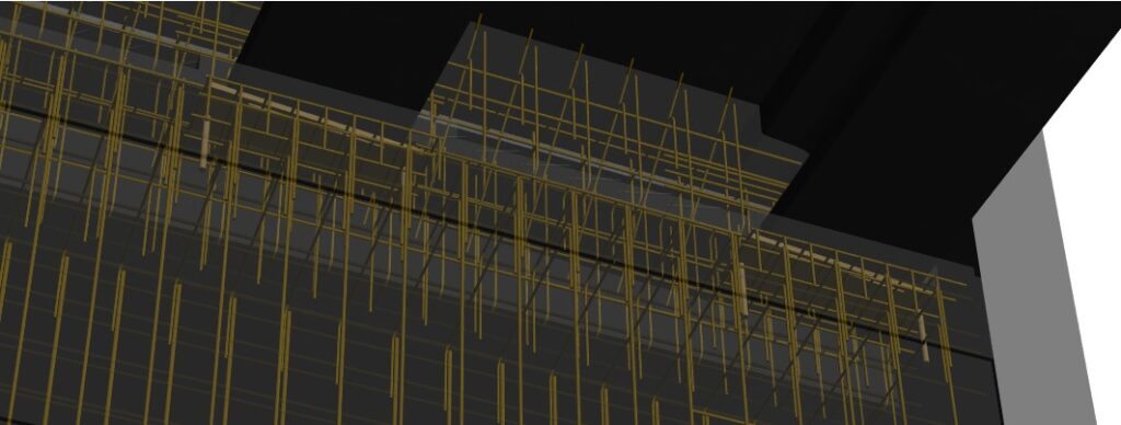
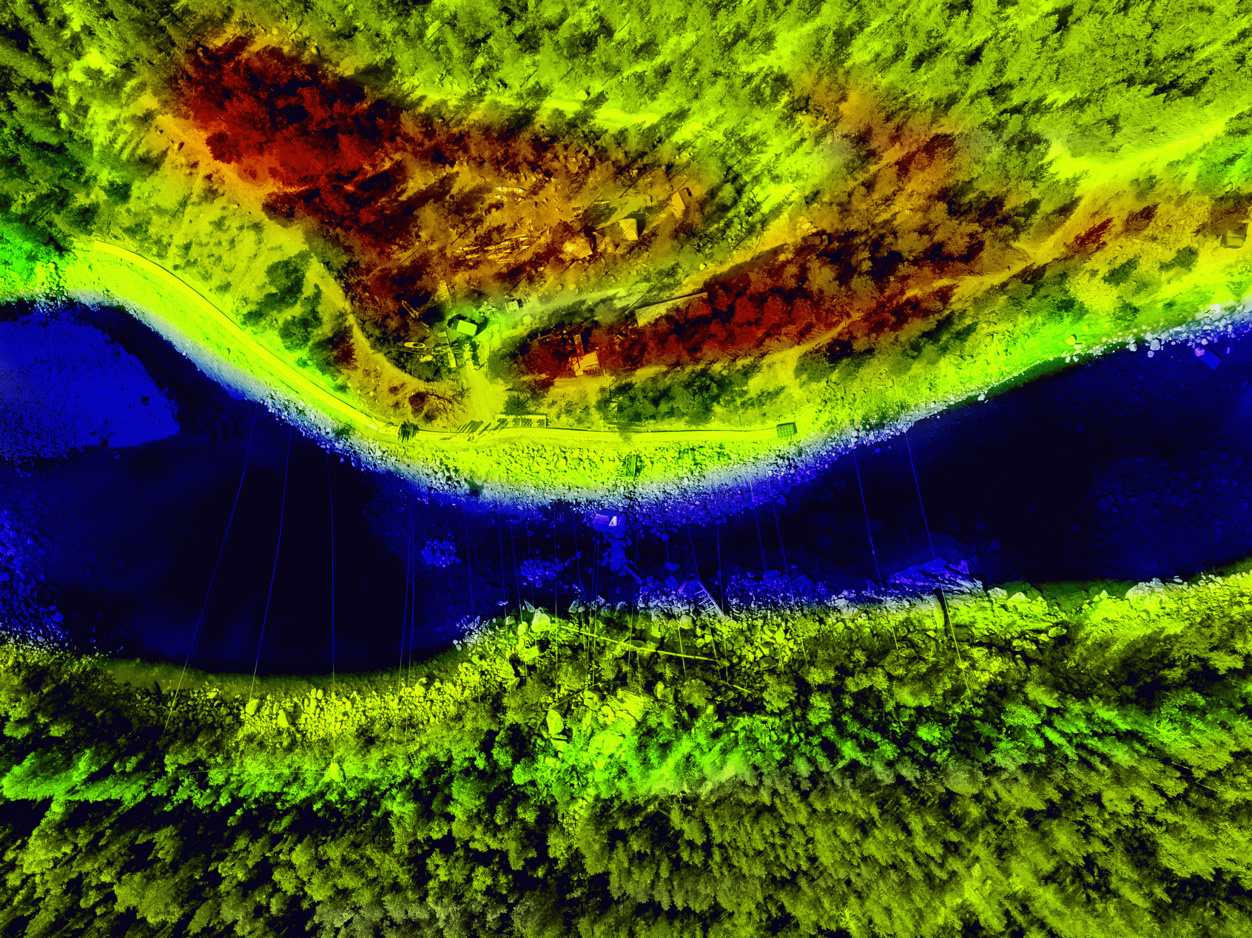
Additionally, the project team will leverage state-of-the-art and emerging technologies to provide sustainable solutions during the design phase. By utilizing modeling tools, WSB will streamline construction management, drainage and utility relocation processes.
Planning for the TH 169 Reconstruction Project is underway with final design set to begin this summer. Phased construction will begin in fall 2022 with project completion set for 2024.